Moderately Strenuous:
4 mi/6.4 km, One Way
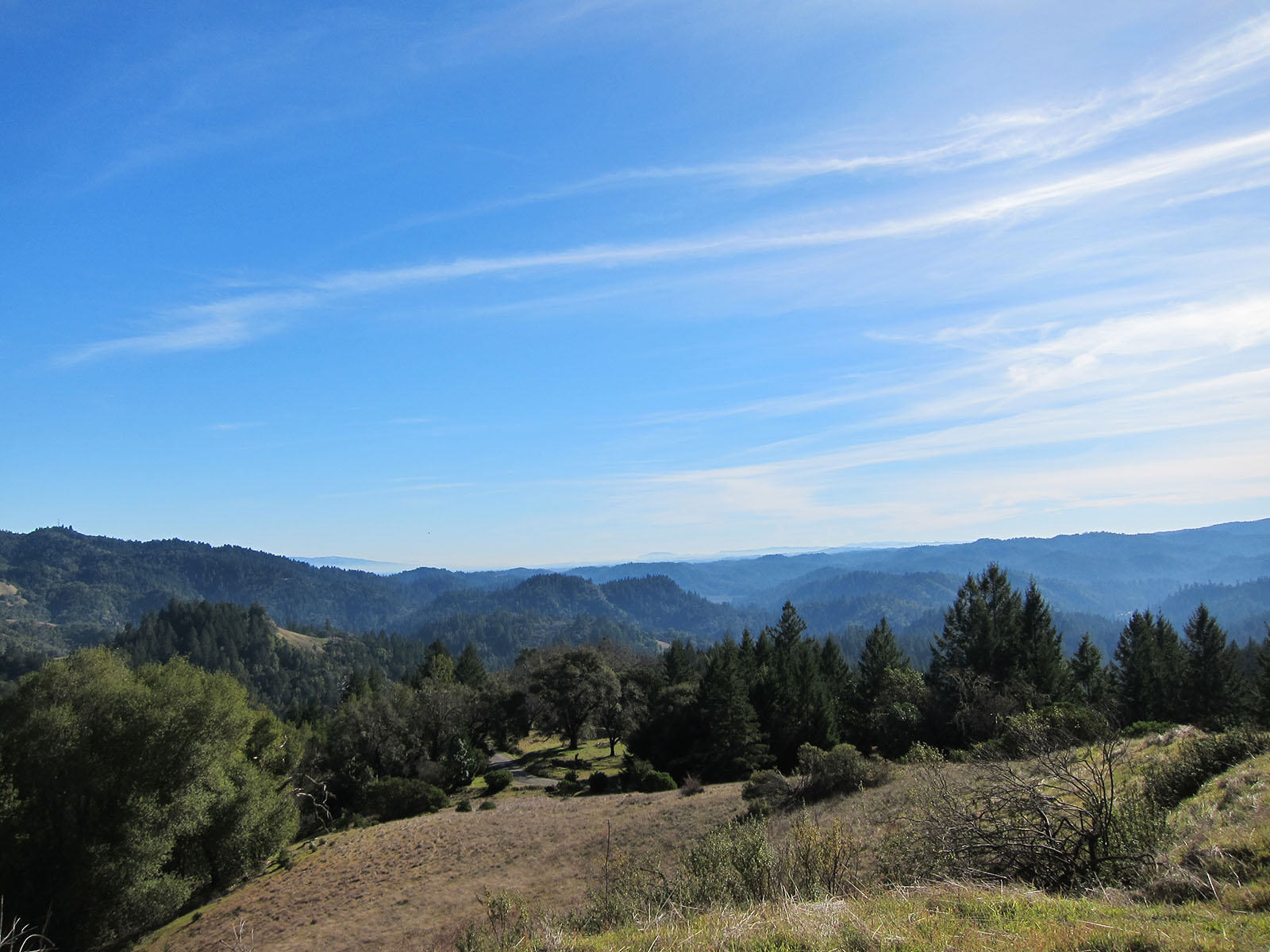
East Ridge Trail curves through the diverse and varied forests of Armstrong Redwoods and Austin Creek as it traverses the 1500′ elevation between the park entrance and Bullfrog pond campground. It can also be used as part of a loop by hiking one way on this trail and returning via the Pool Ridge Trail.
Strenuous:
2.5 mi/4 km, One Way
Pool Ridge Trail gives you an opportunity to experience the dramatic contrast between the cool redwood grove below and the open forest and rolling hills above in Austin Creek SRA. The trail only drops 500′ in elevation, however the upper portion is very steep. This trail can be used to access Armstrong Redwoods State Natural Reserve. It can also be used as a loop in conjunction with the East Ridge Trail.
4 mi/6.4 km, One Way
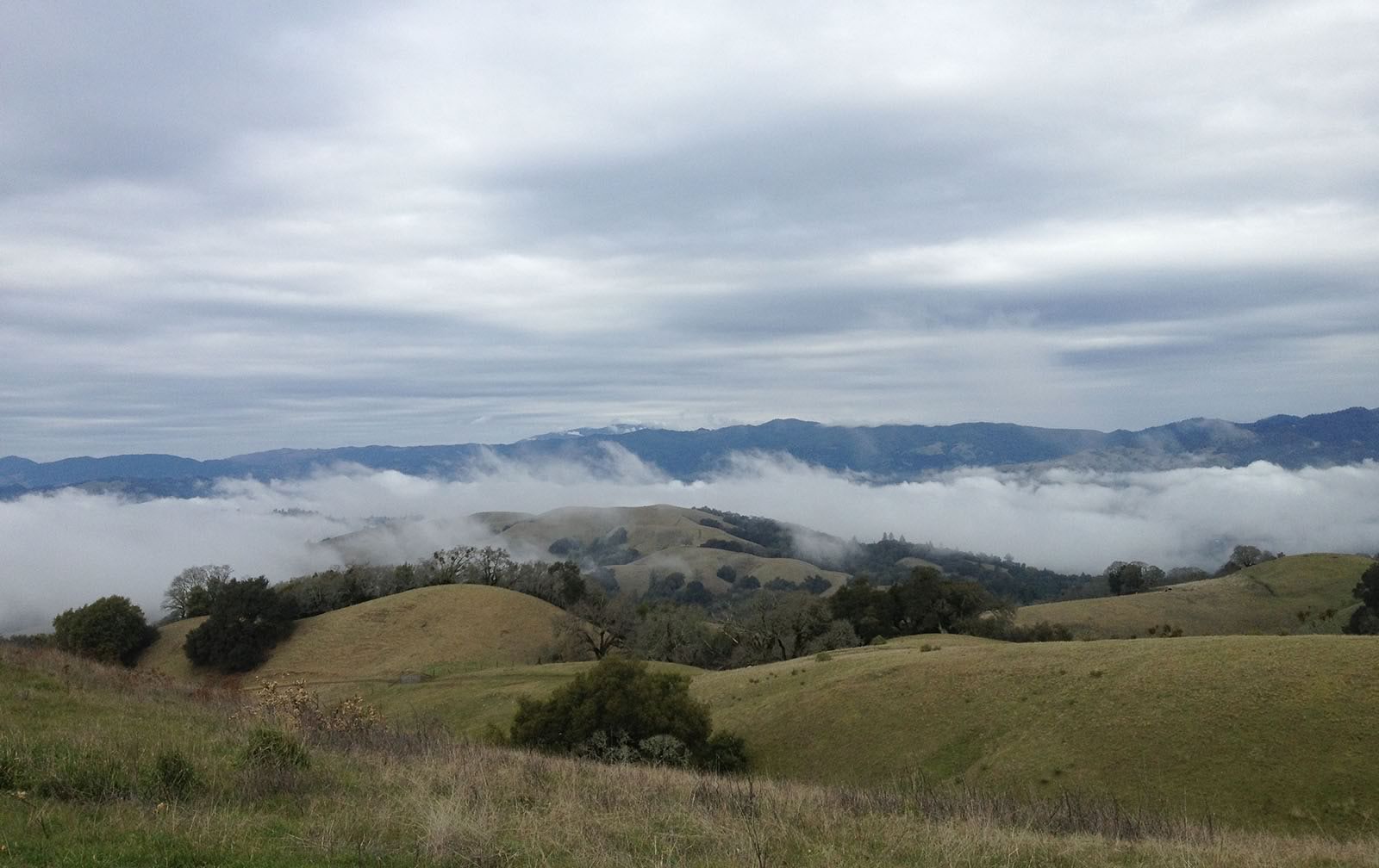
Gilliam Creek Trail is a narrow, steep trail that parallels Gilliam Creek as it winds through shaded oak woodlands. After close to 4 miles it meets the Austin Creek Trail at the confluence of East Austin and Gilliam Creeks. This trail is seasonally impassable at the lower elevations due to high winter water levels in Gilliam Creek.
9 mi/14.5 km, Round Trip
Austin Creek Trail is an unpaved service road that also serves as a trail, winding down the canyon through meadows and groves of forest as it drops from 1200′ to 300′ in elevation. After 4.7 miles, the road meets with Gilliam Creek Trail. A strenuous but spectacular day hike can be experienced by hiking down the Austin Creek Trail and returning via Gilliam Creek.